Archive for March, 2026
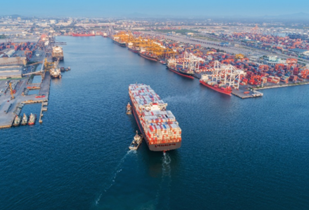
GIS in Ports series – An Interview with PD Ports
Our Geographic Information Systems (GIS) in Ports series is back! Ports are increasingly expected to manage large volumes of environmental and operational data. GIS is becoming a key tool for bringing that information together — supporting everything from environmental monitoring to planning and safety. In this latest interview in our GIS Series we talk to […]
Read more